
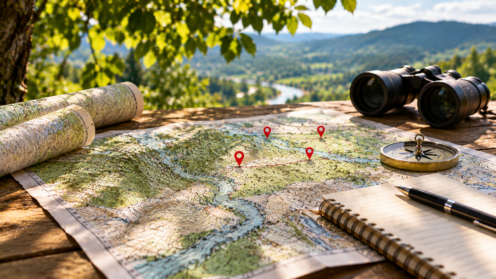
Use geography to inform your planning and operational decisions. We help you combine mapping, location data, and spatial analysis to examine sites, territories, resources, and patterns across regions.
GIS (Geospatial Information Systems) Overview
Geospatial Information Systems (GIS) are technologies and methods used to collect, manage, analyze, and visualize information associated with geographic locations. By connecting data with physical places, GIS allows organizations to understand relationships, identify patterns, and examine how location influences business activities, environmental conditions, infrastructure, and human behavior.
Organizations frequently work with information that has a geographic component, even when location is not the primary focus of their operations. Customer addresses, property records, transportation networks, utility infrastructure, environmental conditions, and mobile device observations can all provide valuable geographic context. GIS helps bring this information together so that organizations can examine it in relation to the physical world.
Mapping and visualization are important components of GIS. Geographic information can be presented through interactive maps, layered visualizations, and spatial dashboards that make complex relationships easier to understand. Rather than evaluating individual records in isolation, users can explore where events occur, how conditions vary between locations, and which areas share similar characteristics.
Spatial analysis extends beyond displaying information on a map. GIS tools can measure distances, evaluate geographic relationships, identify clusters, and examine patterns across regions. These capabilities help organizations answer questions about proximity, accessibility, population distribution, resource allocation, and the potential impact of geographic conditions on business or operational decisions.
GIS also supports combining information from multiple sources. Geographic coordinates, property boundaries, demographic data, environmental observations, infrastructure records, and other datasets may use different formats or levels of geographic detail. Integrating these sources allows organizations to develop a more complete understanding of the areas, assets, or populations they are studying.
Data quality and geographic accuracy are important considerations. Inconsistent coordinates, outdated records, incompatible spatial reference systems, and incomplete location information can affect analytical results. Establishing appropriate data preparation, validation, and management practices helps ensure that geographic information can be interpreted and used reliably.
Geospatial technologies serve a wide range of industries and applications. Urban planning organizations use GIS to study land use and development patterns. Utility providers evaluate infrastructure locations and maintenance priorities. Businesses analyze customer distribution and market opportunities. Environmental and public safety organizations use spatial information to understand risks, monitor changing conditions, and support resource planning.
GIS platforms such as Esri ArcGIS and QGIS provide tools for mapping, spatial analysis, and geographic data management. Geographic databases, cloud platforms, distributed processing systems, and programming tools can extend these capabilities to support more complex datasets and specialized applications.
AspirationalX approaches GIS by connecting geographic information with data engineering, analytical methods, software development, and organizational objectives. We consider how location-based information is collected, structured, analyzed, and presented so that it can support meaningful decisions rather than simply produce maps.
The goal is to help organizations understand the geographic relationships within their information and use those insights to improve planning, evaluate opportunities, manage resources, and make more informed decisions.
Typical Use Cases for GIS (Geospatial Information Systems)
- Geospatial Data Mapping & Visualization — Develop interactive maps and geographic visualizations that make location-based information easier to explore, interpret, and communicate.
- Spatial Data Integration & Management — Combine geographic information from databases, applications, external providers, and other sources into consistent datasets for analysis.
- Location-Based Business Intelligence — Analyze geographic patterns in customer activity, operations, market conditions, and business performance to support informed decision-making.
- Geographic Pattern & Cluster Analysis — Identify concentrations, relationships, and trends within location-based datasets to better understand how activity varies across areas.
- Geospatial Risk Assessment — Evaluate geographic exposure to environmental, operational, infrastructure, or population-related risks using spatial information and analytical models.
- Urban Planning & Property Analysis — Examine property records, land use, development patterns, and geographic conditions to support planning and real estate decisions.
- Infrastructure Asset Mapping & Management — Organize and analyze the geographic locations of utilities, transportation assets, facilities, and other physical infrastructure.
- Population Movement & Location Observation Analysis — Evaluate aggregated location observations and movement patterns to better understand activity across geographic areas.
- Site Selection & Market Evaluation — Assess potential business locations using geographic factors such as customer distribution, accessibility, competition, and surrounding market conditions.
- Proximity & Geographic Relationship Analysis — Measure distances, identify nearby assets or activities, and evaluate geographic relationships that may influence operational decisions.
- Environmental & Geographic Condition Monitoring — Analyze geographic information related to environmental changes, land conditions, natural resources, and other location-dependent factors.
- Geospatial Data Processing & Transformation — Prepare, standardize, combine, and transform geographic datasets for use in mapping applications, analytical systems, and spatial models.
- Custom Geospatial Application Development — Develop specialized applications that integrate maps, spatial analysis, location-based data, and interactive functionality.
- Large-Scale Geospatial Analytics — Process substantial geographic datasets using databases, cloud infrastructure, and distributed computing technologies to support complex spatial analysis.
Our Expertise with GIS (Geospatial Information Systems)
AspirationalX brings together geospatial data analysis, data engineering, software development, cloud computing, and business intelligence experience to help organizations understand and use location-based information. Our approach connects the technical requirements of managing geographic datasets with the practical questions organizations need to answer about places, assets, populations, and operations.
Our experience includes working with large-scale location observation data, geographic infrastructure information, and spatial datasets that support analytical applications. These projects have involved examining how geographic information relates to operational conditions, human activity, and business objectives. This background provides perspective on the challenges of combining different location-based sources and interpreting their relationships accurately.
We recognize that meaningful geospatial analysis begins with understanding the underlying information. Geographic datasets may contain coordinates, boundaries, observations, timestamps, identifiers, or descriptive records that require preparation before they can be used together. Our data engineering experience informs how we consider data structures, transformations, quality checks, and integration processes that support reliable spatial analysis.
Our technical background includes working with cloud-based data platforms, distributed processing technologies, and analytical databases that can support substantial geographic datasets. Technologies such as AWS, Databricks, Apache Spark, and geospatial processing methods provide options for handling information that may be too large or complex for traditional desktop analysis alone. We evaluate these approaches based on data volume, processing requirements, performance, and operating costs.
Our experience also includes developing analytical solutions that connect geographic information with broader business or operational questions. Location-based analysis can help organizations identify patterns in property activity, evaluate exposure around infrastructure assets, understand population movement, and recognize relationships that may not be apparent from conventional reports.
Visualization plays an important role in making these findings useful. Maps and spatial dashboards can communicate geographic patterns in ways that are easier to interpret than raw datasets or numerical summaries. We consider how visualizations should be organized, which geographic details matter most, and how users can interact with information to support their decisions.
Geospatial projects frequently require integrating multiple disciplines. Data engineers may focus on processing and storage, analysts on spatial relationships, software developers on application functionality, and business stakeholders on the decisions the information is intended to support. Our multidisciplinary approach helps connect these perspectives so technical work remains aligned with the intended analytical outcomes.
We also recognize that geographic information can introduce additional considerations involving data quality, location accuracy, privacy, and appropriate interpretation. The usefulness of an analysis depends on understanding what the source data represents, how it was collected, and which conclusions can reasonably be drawn from it. We emphasize evaluating these considerations when developing analytical approaches and communicating findings.
Our experience with data visualization, analytical applications, and system architecture supports the development of GIS solutions that can fit within larger organizational technology environments. Geographic information may need to be integrated with databases, reporting platforms, operational systems, or custom applications. We consider how these connections influence usability, maintainability, and ongoing development.
Our focus is on helping organizations transform complex geographic information into practical insights through reliable data processing, thoughtful spatial analysis, and useful visualizations that support better planning and decision-making.
Case Studies Featuring GIS (Geospatial Information Systems)
- Transforming City Property Data into Actionable Geospatial Intelligence for St. Louis
- Enhancing Utility Pole Maintenance with Advanced Data Analytics
- Developing an Advanced Analytics Application for a U.S. Government Client
- Big Data Exchange (BDEX) Customer Revisit Likelihood Scoring Algorithm Leveraging Location Data