Objective
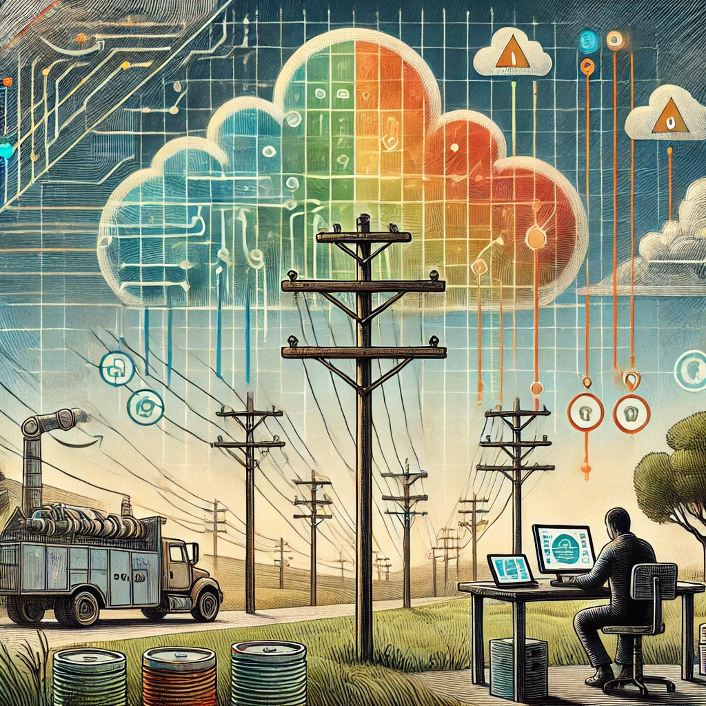
Osmose sought to improve its utility pole maintenance prioritization process by better understanding the potential risk to human life associated with pole failures. With responsibility for more than 100,000 utility poles across multiple states, the organization needed a scalable, data-driven approach for identifying which assets presented the greatest public safety risk.
Leveraging geospatial data provided by SafeGraph, Osmose engaged AspirationalX to design and implement a solution capable of processing billions of location observations and transforming them into actionable maintenance intelligence.
Outcome
AspirationalX delivered a cloud-native geospatial analytics platform that enabled Osmose to prioritize maintenance activities based on real-world population exposure and risk.
The solution provided a scalable framework for continuously evaluating infrastructure risk, improving maintenance planning, enhancing public safety, and supporting long-term operational decision-making. By combining advanced data engineering, cloud infrastructure, and geospatial analytics, the project transformed large-scale location data into practical business intelligence.
Challenge
Osmose needed to process billions of latitude and longitude coordinate observations of mobile phones collected across the United States and convert that information into meaningful risk assessments for individual utility poles.
Key challenges included:
Massive Data Volumes
The system needed to aggregate billions of geospatial observations into a manageable and analyzable format while maintaining accuracy and performance.
Infrastructure Integration
The solution had to operate within Osmose’s existing cloud ecosystem and support future deployment in either AWS or Azure environments.
Long-Term Maintainability
Osmose required comprehensive documentation and knowledge transfer to ensure its internal data science team could independently maintain, update, and expand the system over time.
Solution
AspirationalX designed and implemented a turnkey geospatial analytics platform utilizing Databricks, Apache Spark, AWS cloud services, and advanced spatial processing techniques.
The platform transformed billions of location observations into a global spatial grid, enabling practical analysis of human activity patterns and infrastructure exposure.
Key Interventions / Skills
Large-Scale Geospatial Data Processing
Our team developed a distributed processing framework using Apache Spark on Databricks to aggregate billions of coordinate observations into a global spatial grid.
Advanced counting methodologies, including HyperLogLog and probabilistic data structures, were utilized to efficiently estimate unique device activity and population density within each geographic cell.
Risk Modeling
AspirationalX developed a predictive risk model that evaluated the potential impact of utility pole failures based on observed population activity patterns.
The resulting risk scores enabled Osmose to identify assets with the greatest potential impact on public safety and prioritize maintenance efforts accordingly.
Cloud Data Architecture
Processed datasets were stored using AWS S3 and Delta Lake architectures, providing scalable, cost-effective storage and enabling future analytical enhancements.
The architecture was designed to support ongoing data refreshes and annual reprioritization efforts as new SafeGraph datasets became available.
Documentation and Knowledge Transfer
To ensure long-term sustainability, AspirationalX delivered comprehensive technical documentation, commented codebases, operational procedures, and update processes.
This knowledge transfer enabled Osmose’s data science team to independently manage future data updates, rerun risk assessments, and maintain the platform without external dependency.
Results
Improved Public Safety Prioritization
Osmose gained the ability to prioritize maintenance activities based on objective, data-driven assessments of potential human impact.
Scalable Analytics Platform
The platform successfully processed billions of location observations while maintaining the flexibility to support future growth and evolving data sources.
Operational Efficiency
Automated data processing and risk scoring reduced manual analysis efforts and improved decision-making speed across maintenance planning activities.
Sustainable Internal Ownership
Through documentation and training, Osmose’s internal team gained the capability to manage and enhance the solution independently.
Client Feedback
“Michael is engaging, intelligent, creative and experienced. He very quickly understood our analytics/spatial ETL problem, got excited about it, and started creating structure, momentum and results (well documented). Loved working with him!”
— Osmose Representative